
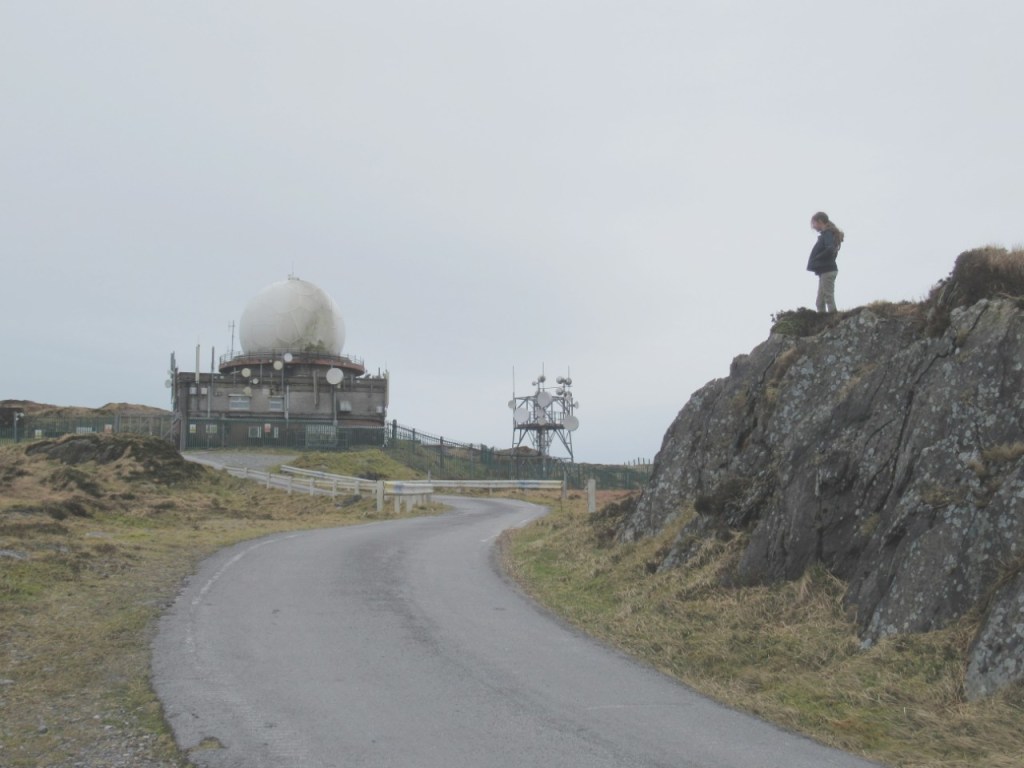
Mount Gabriel (Cnoc Osta) has such a distinctive summit with its two Radar Domes at its summit, that it is easily recognizable from many locations within West Cork. On our travels, we have seen it from so many different vantage points (from day trips to Ballyrisode Beach to travelling back from Skibbereen towards Ballydehob) that it has become an easily definable landmark from which to get our bearings. And yet, despite knowing it as a landmark quite well, we had never yet gone up to the top.

So, earlier this year, just before the lockdown became a real thing and before the children were all sent home from school, we took a drive to Schull on a lovely weekend to find a way up to the top of Mount Gabriel.
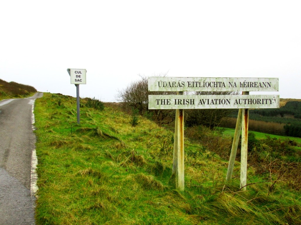
We had read of many different routes up the side of the mountain and people always say that there is no right or wrong way to get up to the summit and that it can be accessed from all sides. But as we were unable to find a specific start of a path leading up the side of the mountain, we decided to find the road provided and maintained by the Irish Aviation Authority and follow that up instead. Just to be safe. I know I was erring on the side of caution, but Mount Gabriel was extensively mined for copper at one stage and I didn’t want to flirt with the possibility of one of us falling down a forgotten mineshaft on a Sunday afternoon.
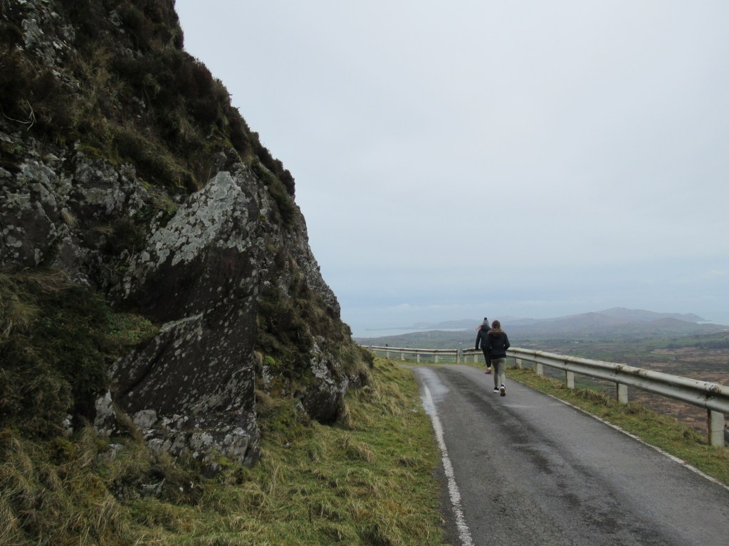
Leaving Schull via the South Terrace Road (with the primary school on our left) we drove around the skirt of the mountain – hugging it by taking left turns wherever one presented itself (there were 3 altogether) until we came to the road that has a ‘cul de sac’ sign as well as a sign showing the start of the road maintained by the Irish Aviation Authority. We parked the car on the verge there and this is the point at which we started our walk. As the road is tarred all the way to the top, it makes for a smooth walk and it will suit young walkers who might struggle with a more rugged or uneven route.
The first thing that struck us was the stillness. The day was so quiet we could hear the crash of very distant waves and with each corner we turned up the windy road, the vista opened up more and more for us. Eventually we could see Roaring Water Bay, Bantry Bay and Dunmanus Bay.
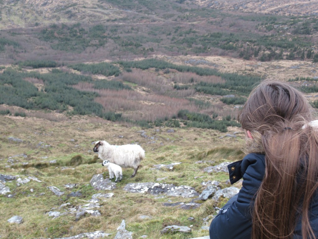
The nature on the walk was wonderful and we watched a bird of prey hovering for its dinner. There were lots of sheep with their newly born lambs to admire along the way and the sound of trickling water was so clear and clean, some were tempted to drink from it – possibly not the most advisable thing to do, but it did those who did absolutely no harm at all.
The two Radar Domes at the top are bizarre structures to see up close. They are fenced off but you can still get close enough to get an idea of their size. They were built in the late 1970s as a part of the European air traffic control system and are still run and maintained by the Irish Aviation Authority today. The Irish National Liberation Army blew up one of the domes in 1982 as they believed it was a NATO installation which would have indicated a violation of Irish Neutrality. RTE still have the video clip in their archives for anyone wanting to watch the newscast of the day.
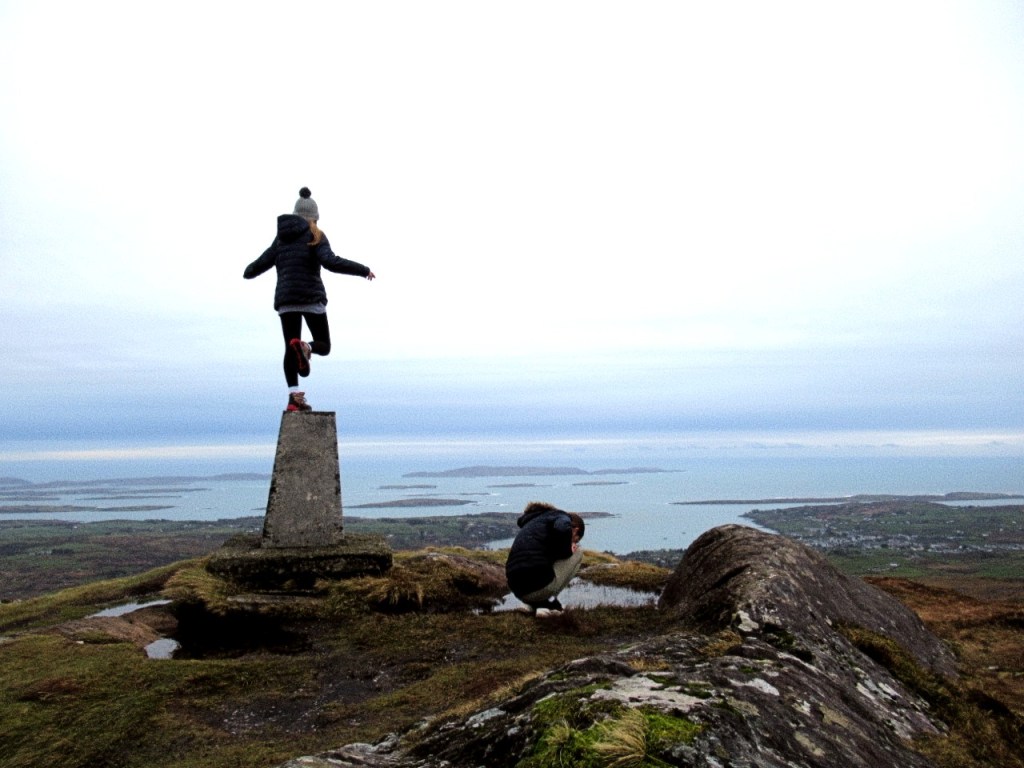
Mount Gabriel is 407m high and from the trig beacon you have a beautiful panorama of the entire Schull Harbour, Long Island Bay, Roaring Water Bay and all the little islands in there known as Carbery’s Hundred Isles. In the distance, you can even see the Macgillycuddy reeks of County Kerry.
The Fastnet Rock can be seen on a clear day which according to mythology is linked with Mount Gabriel. On the Duchas.ie website it claims that the devil once flew so low over Mount Gabriel that he clipped his wing against a rock. He got so angry that he took a bite out of the rock and then dropped it as he was flying over the sea. The rock was so large that a part of it stayed above the water and that is the part that the Lighthouse is now built on.
We all enjoyed the walk so much and I cannot believe it took us so long to ever visit it, but now that we have done it, it is one I would love to do again as on a clear day, it is near impossible to beat the incredible scope of the view.

Is there any problem with “No Entry” “Private Property” sort of thing?
LikeLike